
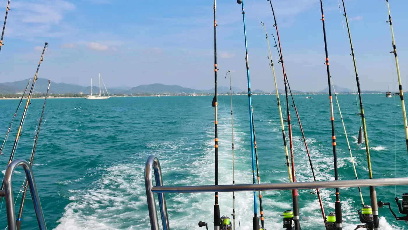
Saving the spot is only half of getting back to it. The last hundred metres is where a phone map usually falls apart. The mark is a dot, the boat is a dot, and nobody wants to look down while the outrigger is close to the line.
You already did the hard part when you found the edge. Missing it by a boat length on the return is a navigation problem, not a fishing problem.
The chart takes you to the mark
Navigate is free. Tap a saved spot. The screen turns so the mark stays ahead, and it shows distance, speed, and ETA. It zooms in as you close, so the end of the leg is not a guess. Target looks at the spot. Recenter brings the boat back. You have arrived when you are inside 25 metres of a mark, or inside the zone if that is what you saved. Pocket the phone and it keeps going.
No hands free at all? Shake the phone three times. A mark drops where the boat is. You can name it later, when the fish is on ice.
Getting there should not be a second job. The chart already has the mark. The phone should take you to it, including the last hundred metres.