
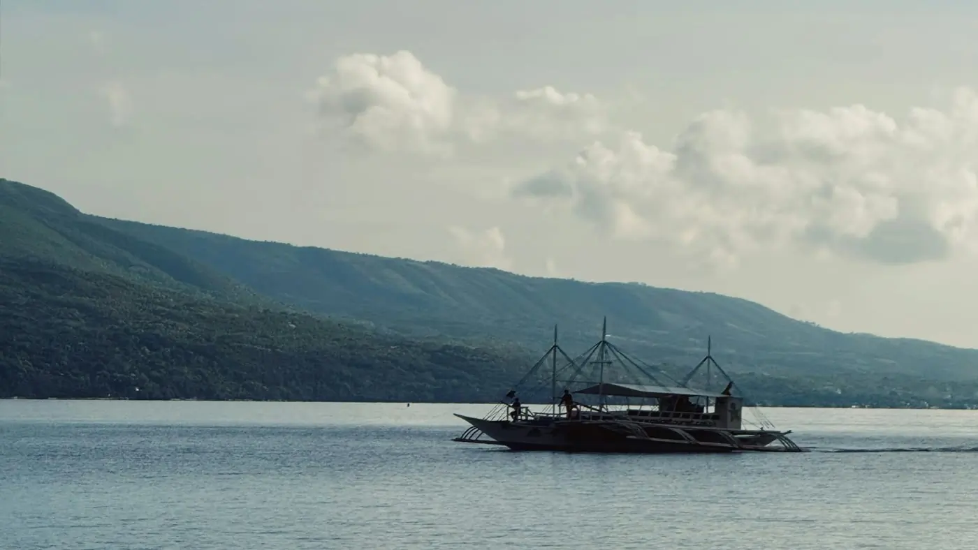
A jigging day is lost in two places. The first is on the chart, before the boat even leaves. You can see the coast. You cannot see the wall.
Tambakol and talakitok do not sit on a flat bottom. They hold where the depth changes: a steep wall, a ledge, a hump. A coastline map will take you to the beach. It will not show the drop off Aloguinsan, or any other edge the fish are using.
The signal dies with the chart
The second loss is past the 100-metre line. The phone signal goes, and the online map goes with it. You are left with a last screenshot, a guess, and fuel already burned. That is not a navigation problem. It is a chart that was never meant to leave the beach.
JigSpot draws the bottom as contours from GEBCO bathymetry, for Philippine waters. Not a world map with a fishing skin. On the Visayas pack you can read Tañon Strait between Negros and Cebu: the steep wall close to the Cebu shore, and the deep water in the channel. The app is built as four packs: Luzon, Visayas, Mindanao, and Palawan. Batangas, Coron, and Davao Gulf are example grounds inside those packs, not separate downloads.
What the chart does on the boat
- Free covers the online chart, so you can learn the water before you pay for the offshore day.
- Pro adds structure edges, a target-depth band for the jig weight you are actually fishing, and the depth under the crosshair.
- Long-press a point and Examine scores the structure within 250 metres, then lets you keep it as a zone.
- Download the Pro pack before you leave the beach. The contours stay when the signal does not.
That is the job of the chart. You should know the water before the jig gets there. If the map only shows the coast, you are still guessing where to drop.